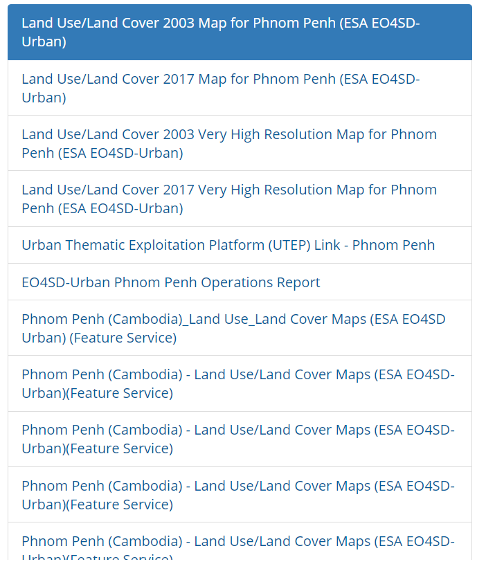
This Land Use / Land Cover (LULC) dataset contains spatial explicit information about the different land covers / uses for current (2017) and past (2003) covering Phnom Penh. Production of land use/cover maps based on satellite imagery interpretation. Produced by GISAT s.r.o. in the EO4SD-Urban project funded by the European Space Agency (ESA).