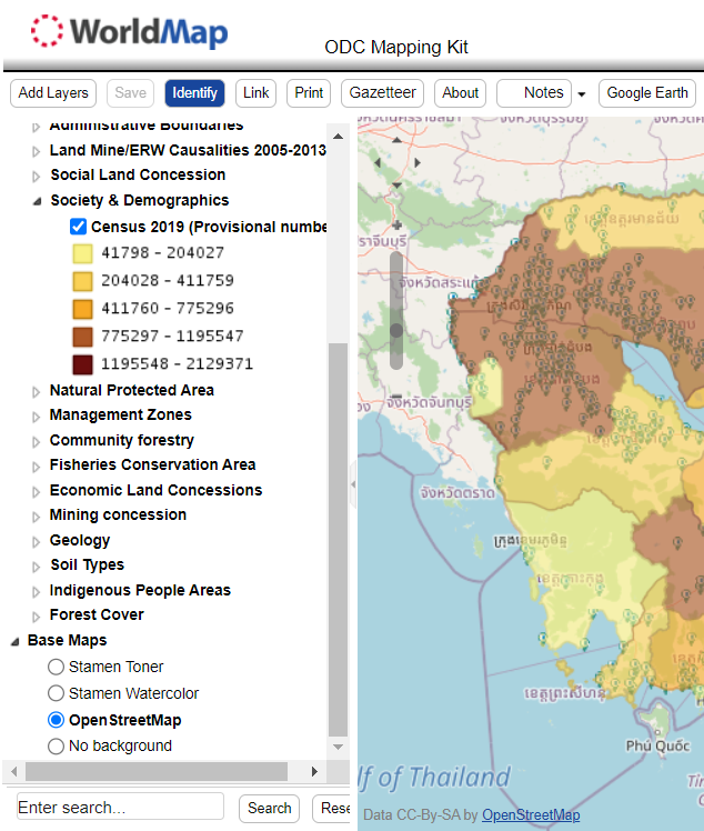
The ODC mapping kit has been created as a low-tech, user-friendly way for viewing and customizing maps and sharing them online or printing them for fieldwork. More advanced functions include uploading geotagged photos and annotated maps so that they can be accessed online. Users should have basic familiarity with computers and an Internet connection. The mapping kit displays selections of ODC’s existing data through the Harvard WorldMap interface.