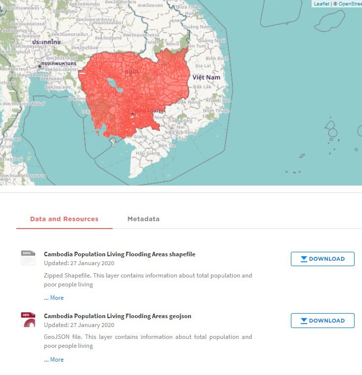
This layer contains information about total population and poor people living communes affected by flooding in 2013 in Cambodia. Data Source: LandScan population in 2015, Copernicus flood extent in 2013, IDPoor data of Ministry of Planning and Department of Geography of the Ministry of Land Management, Urban Planning and Construction.