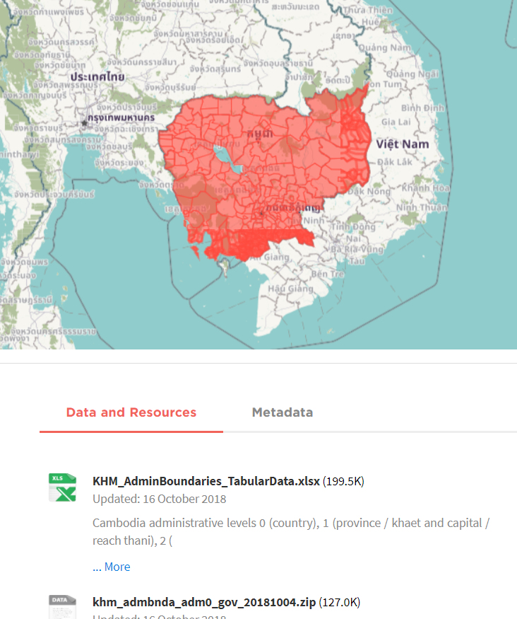
Boundary polygon, line, and point shapefiles of Cambodia subnational administration boundaries (1 = province / khaet and capital / reach thani, 2 = municipality / district, and 3 = commune / khum, quarter / sangkat). The datasets were obtained from the Department of Geography of the Ministry of Land Management, Urbanization and Construction in 2008 and unofficially updated in 2014 according to sub-decrees on administrative modifications. Data provided by WFP - VAM unit Cambodia. These shapefiles are suitable for database or GIS linkage to the Cambodia administrative level 0-3 population statistics CSV tables.