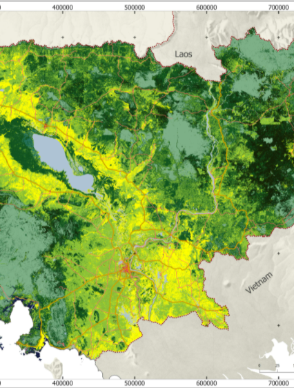
The land cover is extracted from the Regional Land Cover Monitoring System (https://rlcms-servir.adpc.net/en/landcover/) which is developed by SERVIR-Mekong. The primitives are calculated from remote sensing indices which were made from yearly Landsat surface reflectance composites. The training data were collected by combining field information with high-resolution satellite imagery.