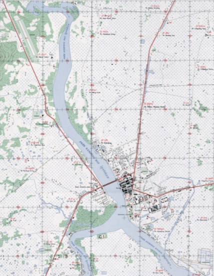
This map, created by the United States Government and released in 1993, provides a detailed representation of roads, key landmarks and building, zoning, infrastructure, and ecological features in Kampong Chhnang. The map can be zoomed in for greater detail. [original scale 1:12,500, Edition 2-AMS (FE), Series L9010. U.S. Army Mapping Service, Far East]
User notes: Map made available by the University of Texas at Austin Libraries.