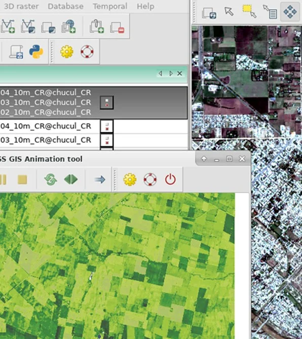
GRASS is a free, open-source geographic information system (GIS) software suite used for geospatial data management and analysis, image processing, producing graphics and maps, spatial and temporal modeling, and visualizing. It can handle raster, topological vector, image processing, and graphic data.