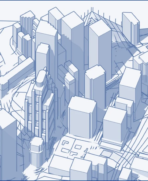
CadMapper transforms data from public sources such as OpenStreetMap, NASA, and USGS into neatly organized CAD files. It's free for areas up to 1 km2 and over 200 whole city DXF files. These are huge and simplified two-dimensional DXF files of metropolitan area road networks, which include 3 levels of roads as polylines, as well as bodies of water.