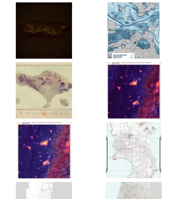
QGIS is a free, open source Geographic Information System with powerful capabilities allowing users to analyze and edit spatial information, in addition to composing and exporting graphical maps. It is compatible with Esri (the industry standard maker of ArcGIS). Use QGIS to view multiple layers of mapped data relative to one another, group locations or elements with sets of criteria, determine distance calculations, examine proximities, and quickly create figure ground maps.